Simulation: a car drives west through the Carmel Tunnels in Haifa. GPS is lost at the entrance, and Navato’s position stays on the road the whole way through.
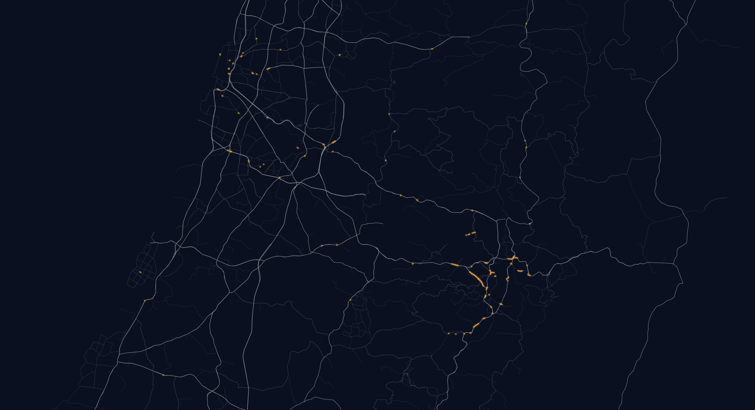
Simulation: on the Ayalon Highway in Tel Aviv, jammed GPS positions jump kilometres away while Navato’s position follows the real road.
Simulation: a car leaves an underground car park in Tel Aviv. GPS is still searching, but Navato already knows the starting point because it remembered where the car was parked.
GPS
OK
Speed
80km/h
Position
On course
Simulation
Navato at a glance
The full map, offlineMap, address search, routing and spoken directions on the phone.
Through tunnels and jammingGuidance keeps going when GPS is blocked, jammed or spoofed.
Standard Android phonesAndroid 7.0 or later, with about 1 GB free for the map.
Hebrew and EnglishSpoken directions and the whole interface.
The full map, address search and routing live on the phone, so a driver finds the address and gets a route with no mobile data and no server.
No networkRoute ready
Route ready, no network needed
Route ready, no network needed
When a vehicle parks, Navato remembers where it stopped, even three floors underground, so the next drive starts from that spot without waiting for a satellite.
Last position, saved on parking
Last position, saved on parking
A tunnel, a hospital’s underground car park, a morning of GPS jamming: Navato keeps the position moving with the vehicle, turn after turn, with no signal from outside.
GPSOKGPSNo signal
No signal, still on course
No signal, still on course
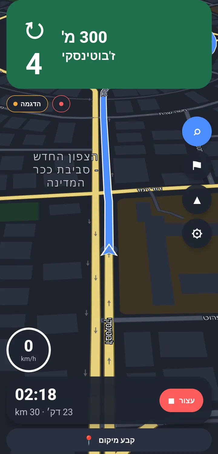
Spoken directions keep coming on time the whole way through. When the sky comes back there’s nothing to catch up on: Navato is already where the vehicle is.
350 m200 m100 mTurn right
Directions that never pause
Directions that never pause
No networkRoute ready
Route ready, no network neededLast position, saved on parking
GPSOKGPSNo signal
No signal, still on course
350 m200 m100 mTurn right
Directions that never pause
Built for the places GPS can’t reach
Through every tunnel
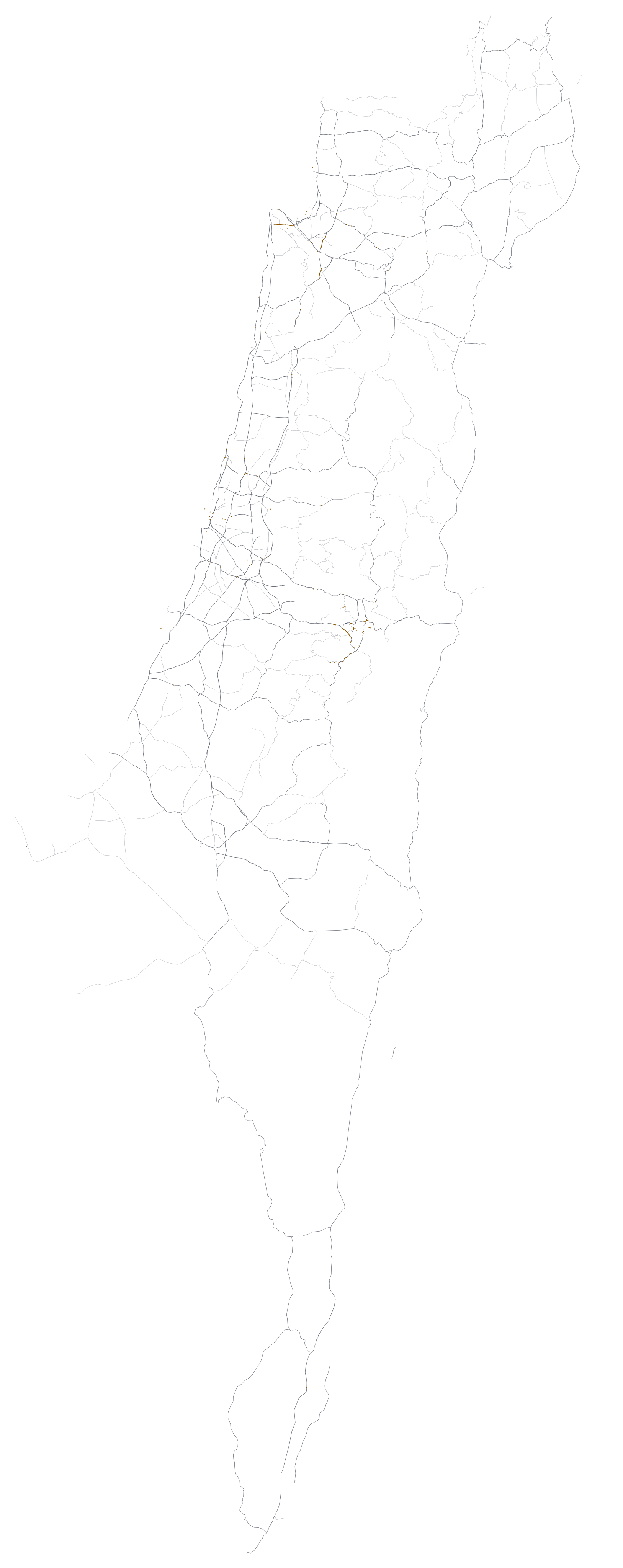
From a tunnel almost 5 km long to the shortest underpass in town, Navato keeps the position and the next turn all the way through.
One country as an example: Israel’s road tunnels, laid end to end in both directions, come to 58 km of road with no sky above it.
Down in any car park
Three floors down, with no signal at all, Navato already knows where the vehicle parked, so guidance starts the moment the drive does.
Search and routing, offline
The map, the addresses and the road network live on the phone. Search and routing work with no data connection at all.
Better with every shared drive
Drives that people choose to share teach Navato about the roads: where GPS misbehaves, how long a junction really takes. Your organisation decides whether its vehicles share anything, and every vehicle gets the improvements either way.
Community update
Many shared drives, each faint on its own, add up to one clear road.
For organisations whose vehicles drive through tunnels, underground car parks and areas of GPS jamming, and for the companies that make, import and equip those vehicles.
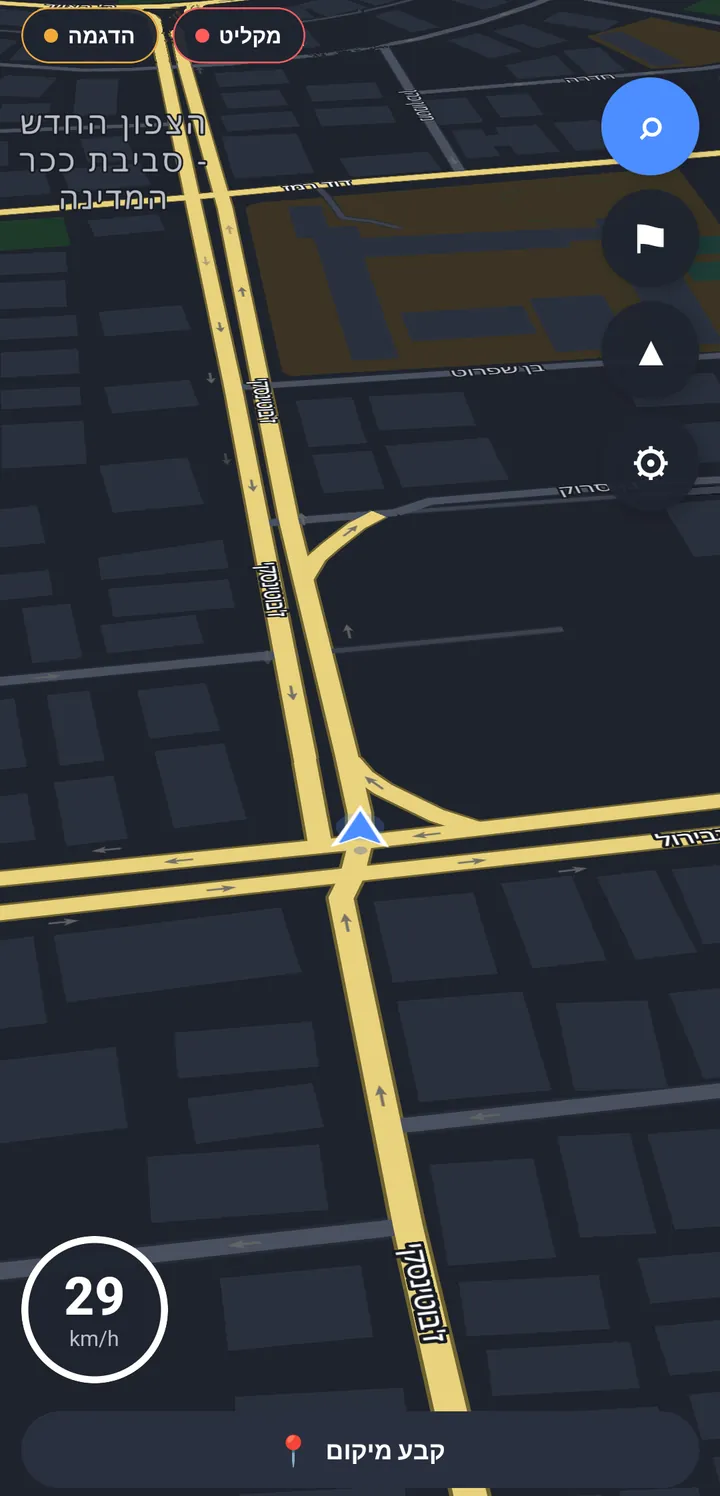
Navato is a navigation app for vehicles. It keeps guiding the driver when GPS is jammed, spoofed or blocked: in tunnels, in underground car parks and in other places where satellites can’t be trusted. The full map is stored on the phone, so search, routing and spoken directions work with no network.
How is Navato different from Waze or Google Maps?
Apps like Waze and Google Maps follow the phone’s satellite position and use mobile data for search and traffic. When GPS is jammed or a tunnel blocks it, their position can freeze or jump. Navato keeps track of the vehicle where satellites can’t reach and needs no network. When it has a connection it can also use live traffic for the route and arrival time; that is optional, and navigation never needs it.
Does Navato replace our tracking or fleet-management system?
No. Navato guides the driver. It reports a vehicle’s location only if live location reporting is switched on on that phone (it is off by default), and it runs alongside the tracking and dispatch systems you already use.
What does a pilot need from us?
A contact person, the vehicles and drivers taking part, and standard Android phones, version 7.0 or later, with about 1 GB free for the map. We go through everything else with your team and set up the pilot together.
What data leaves our vehicles?
No drive data leaves a vehicle unless sharing or live location reporting is switched on. Sharing has three separate switches and live location reporting is a separate setting, all off by default, and your organisation can keep them off for the whole pilot. How data is handled.
Is Navato certified for emergency or safety-critical use?
No. Navato is in beta and is not certified for emergency, professional or other safety-critical use. During a pilot it runs alongside the navigation and procedures your team already relies on.
See it on your own routes
Tell us where GPS lets your vehicles down, and we’ll suggest a pilot that fits.