Navato
עברית
Request a pilot

Keep public services on course when GPS fails

Local authorities, government bodies and transport operators run vehicles through tunnels, underground car parks and areas of GPS jamming every day. Navato keeps their drivers guided, with no drive data leaving the vehicle by default.
  • Continuity of service
  • Works offline
  • Data stays in the vehicle by default
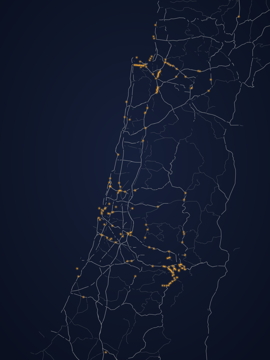
A national road network drawn in light lines on navy, with every road tunnel in amber.
Map data © OpenStreetMap contributors

What GPS disruption costs a public service

Continuity in an emergency

GPS interference can’t be forecast: in Europe it has spread to land transport, and in Israel it was widespread in recent emergencies. Inspectors and welfare teams still have to reach every address.

Sites under the ground

Municipal car parks, hospitals and transport hubs take vehicles underground, where satellites can’t reach.

A review for every new tool

Many navigation tools need accounts, connectivity and data on someone else’s servers. Each of those is another security review.

What changes with Navato

  • Navigation keeps working through jamming, spoofing, tunnels and underground car parks.
  • The full map is stored on the phone, so routing works with no network.
  • Drivers need no accounts, and the app never asks for personal details.
  • Sharing is off by default; anything shared is stored on servers in the EU and can be deleted at any time.
  • Hebrew and English throughout.
Illustration: along a drive through a tunnel and an area of GPS jamming, the GPS state goes from OK to No signal, Jammed and Back, while the next turn and Navato’s position stay on course.

How it fits a public body

Standard phones
Android 7.0 or later, with about 1 GB free for the map.
Nothing to integrate
Navato needs no server, no accounts and no connection to your systems to navigate.
Alongside existing tools
Dispatch, tracking and radio stay as they are; Navato guides the driver.
Hebrew and English
The app and the website work fully in Hebrew and in English.

Road, tunnel and utility maintenance crews work where GPS can’t reach. The pilot works the same way. Emergency and public safety

Who it’s for

Local authorities
Inspection, maintenance, sanitation, welfare and municipal security vehicles.
Government bodies
Field units and service vehicles of ministries and public agencies.
Transport operators
Supervisor and support vehicles, and other vehicles you choose for the pilot.
Infrastructure operators
Crews that maintain roads, tunnels and utilities.

Built to be easy to review

A small, time-boxed pilot
A defined group of vehicles, a defined period and criteria your team sets, agreed in writing.
Clear data terms
Navigation needs no server. What, if anything, is shared during the pilot is agreed in advance.
Documents for your review
The privacy policy, the terms of use and the accessibility statement are public, so your team can read them before the first conversation.
An accessible website
navato.ai is designed to meet Israeli Standard 5568.

Start with a pilot your teams can approve

A small group of vehicles, on the routes and sites where GPS fails you, for a fixed period. Your operations team sets the criteria; your legal and security teams see everything in advance.

How a pilot works

Drive data stays in the vehicle by default

Navigation needs no server. Sharing is off unless your organisation switches it on, and anything shared is stored in Frankfurt, Germany.

Security and privacy

Good to know

  • Navato is in private beta and runs on Android phones.
  • It is not certified for emergency, professional or other safety-critical use.
  • Live traffic and road closures are optional: they need a network connection, can be switched off, and navigation works fully without them.

Questions from public bodies

All questions about pilots
How can a public body start?

With a small pilot, agreed in writing, that your legal, security and procurement teams can review in advance. The privacy policy, the terms of use and the accessibility statement are public.

What data leaves the vehicles?

No drive data leaves a vehicle unless sharing or live location reporting is switched on. Sharing has three separate switches and live location reporting is a separate setting, all off by default, and your organisation can keep them off for the whole pilot. How data is handled.

Does it work without mobile coverage?

Yes. The map, address search, routing and spoken directions all run on the phone, with no network at all.

Is the website accessible?

navato.ai is designed to meet Israeli Standard 5568 and aims at WCAG 2.2 at level AA. Accessibility statement.

Talk to us about a pilot

Tell us which services, vehicles and places matter most.