The call comes from a jammed area
Jamming and spoofing are reported from the Baltic to the Middle East; in Israel, apps have put drivers in another country. A crew that can’t trust the map navigates from memory.
האתר זמין גם בעברית
Emergency, rescue and security crews drive through tunnels and underground car parks and, in more and more places, through GPS jamming. Navato keeps guiding them there, with no network needed.
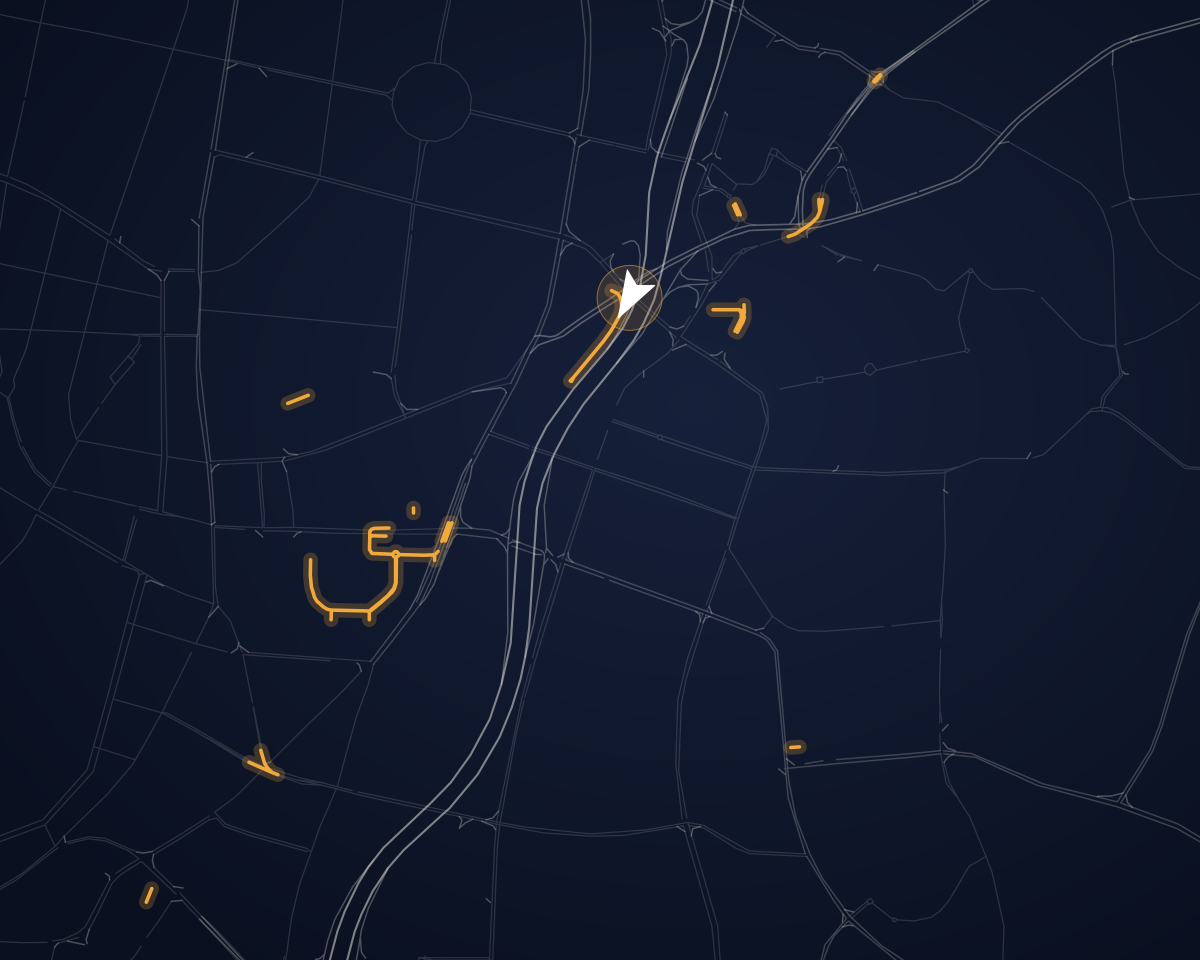
Jamming and spoofing are reported from the Baltic to the Middle East; in Israel, apps have put drivers in another country. A crew that can’t trust the map navigates from memory.
Underground car parks and service levels block satellites completely. Getting in is one problem; coming out on the right street is another.
In an emergency, mobile networks get crowded or fail. Navigation that needs data stops when it is needed most.
Municipal security patrols and emergency centres face the same conditions. The pilot works the same way. Government and local authorities
Navato is in beta and is not certified for emergency, professional or other safety-critical use. In a pilot it runs alongside the navigation and procedures crews already rely on, never in place of them.
Choose the places that trouble your crews: a jammed area, a hospital car park, a tunnel on a main route. We agree in advance what success looks like, and you decide what happens next.
Navigation needs no server. Navato reports vehicle locations only from phones where live location reporting is switched on, and it is off by default. Sharing is off unless your organisation switches it on.
Security and privacyNo. Navato is in beta and is not certified for safety-critical use, so in a pilot it runs alongside the tools your crews already rely on.
Only if live location reporting is switched on on the phone, which is off by default. Then, while Navato tracks or guides the vehicle, it sends the vehicle’s position to the server chosen on that phone. Other drive data is shared only if your organisation switches sharing on.
Yes. Navigation needs no server. Keep the sharing switches and live location reporting off, and no drive data leaves the phones.
Yes. The map, address search, routing and spoken directions all run on the phone, with no network at all.
Tell us which places and vehicles matter most to your crews.